Hometown Terrain Ornament
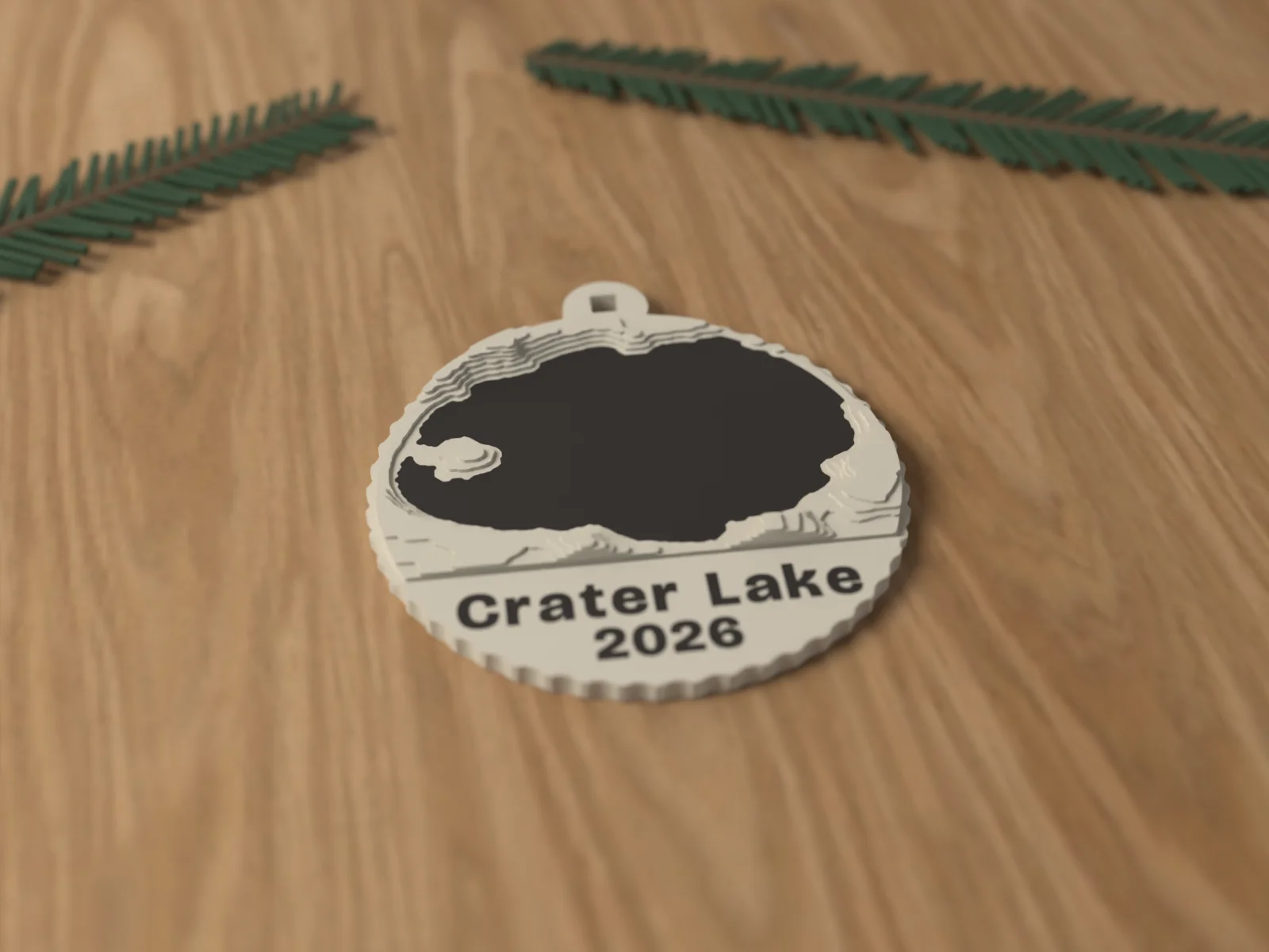
The real ground of a US place in stepped contours from USGS elevation, on an 80 mm ornament.
In first article testing
We print the first one before we sell any.
- 1We print the first one on the same machine and settings as every order.
- 2We measure it against the drawing: fits, walls, the name inlay, how it stands or hangs.
- 3We photograph it and log the result. Only then does Add to cart switch on.
We plan to open it by November 6 if the test piece passes. If it needs another round, the page says so.
Care and safety
- Decoration, not a toy. For adults 14 and up. Keep small parts away from young children and pets.
About this piece
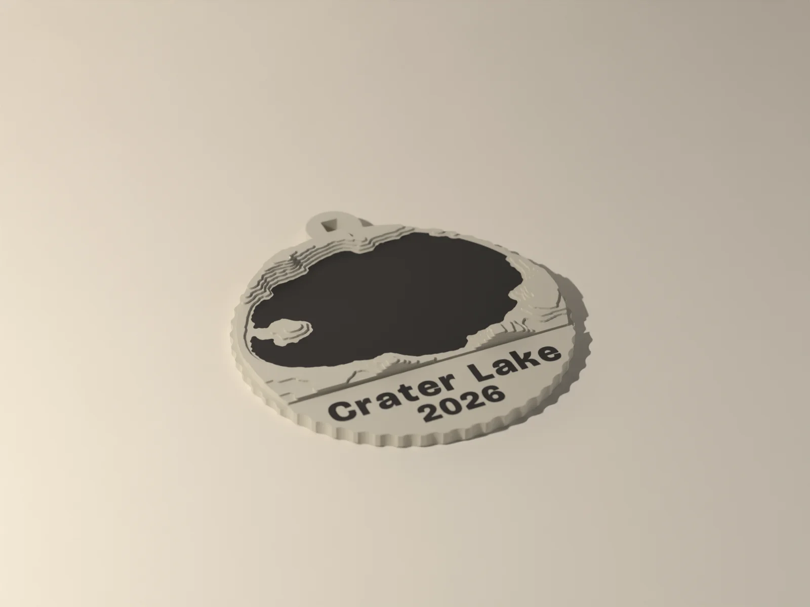
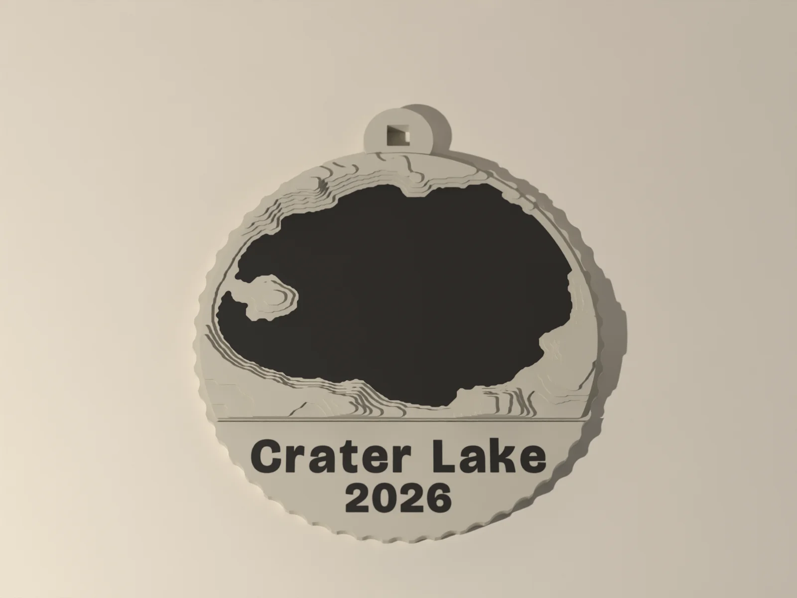
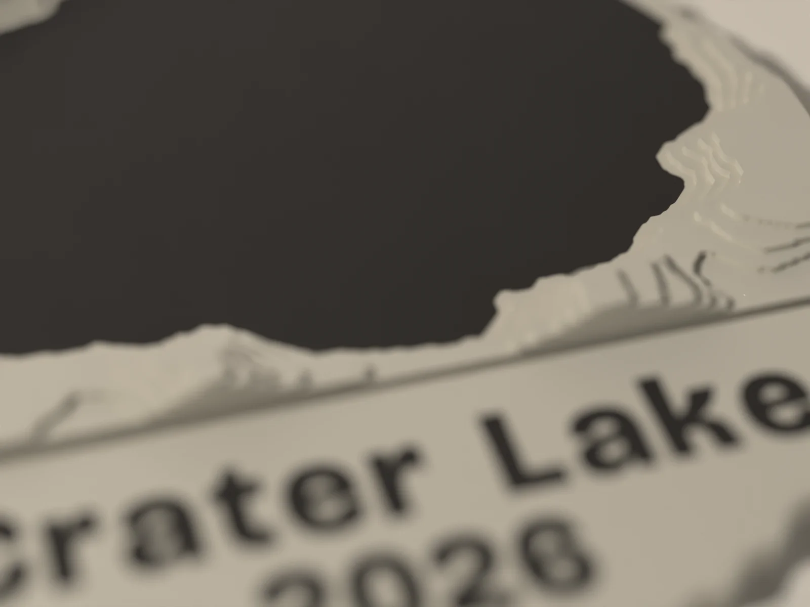
The ground under a place you love, as an 80 mm ornament. Give us coordinates or a US street address and we build it from USGS 3DEP elevation data in eight stepped contours, each 0.6 mm. Lakes are inlaid flush in a second color; with no water, the highest ground takes the color. The place label and the year sit on a smooth panel across the bottom.
Choose 2, 5 or 10 km of ground. We email a preview before printing and print only after you approve it. United States only.
Decoration, not a toy. For adults 14 and up. Keep small parts away from young children and pets.
Elevation: USGS 3DEP
Who it is for
- A first home, a family cabin or the lake you go back to.
- A hometown for someone who moved away.
- A trip or a summit, with the year.
Specifications
| Material | PLA, matte |
|---|---|
| Size | 80 mm disc, about 7 mm at the highest step |
| Terrain | Eight stepped contours, 0.6 mm each, from USGS 3DEP elevation |
| Water | Lakes inlaid flush in the second color; with no water the highest ground takes it |
| Coverage | United States only |
| Data | Elevation: USGS 3DEP (public domain), recessed under the ornament and on the card |
| Size | 80 x 7 x 89 mm as shown, varies with your choices |
| Ships | Within 6 business days, Standard shipping (USPS Ground Advantage, 2 to 5 days after it ships) |
In the box
- One terrain ornament
- A card with the coordinates and the data credit
Not included
- Roads, buildings or street names. It shows the shape of the ground and the water.
- Hooks or ribbon.
Questions about the hometown terrain ornament
Where does the map come from?
Elevation: USGS 3DEP, the US Geological Survey's national elevation data, which is public domain. We credit it under the ornament and on the card.
Will I see my street?
No. It is the shape of the land and the water. Flat towns make gentle ornaments; hills and lakes make dramatic ones.
Can you make one outside the United States?
Not yet. The elevation data we use covers the United States.